Oak Creek Trail
The Oak Creek Trail trailhead was literally just outside the back door of our hotel, the Ouray Victorian Inn. It made for a nice acclimation hike--not too long--giving us a chance to get used to the higher altitudes out West.
The trail took us a distance of about 6.5 miles round trip from the hotel and peaked out at 10,740 feet. There was a crossing of Oak Creek, which was trickier coming down than going up due to markedly increased flow from the melting of snow that occurred during the day.
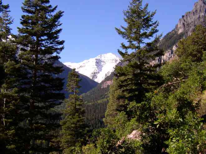
U.S. Mountain (13,036')
There is some great scenery that starts out early with a view up Canyon Creek, looking toward U.S. Mountain. The fresh snow really made the taller peaks stand out. As the trail climbed higher and we approached 10,000 feet, we found ourselves hiking through about 2" of wet snow. This had melted by the time we returned after a lunch break at the top.
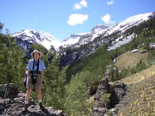
Kathy at the top. Whitehouse Mountain (13,492') in the background.
At the top, as we were finishing our lunch, we would meet Don and his wife, transplants from California. Don was leading a tour the following day (associated with the Ouray County Historical Society) of the old Guston mining area and the Corkscrew Gulch Turntable. He happened to have a couple of tickets with him, so we bought them from him.
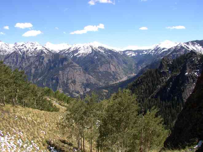
View of Ouray-Sneffels Road
Next day (Guston and the Corkscrew Turntable)
Back to Ouray, Colorado 2003 page